



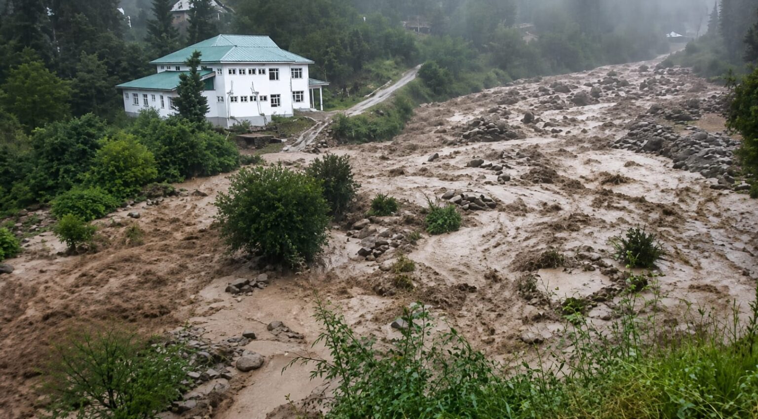
Srinagar- Fresh spells of rain lashed several parts of Kashmir on Wednesday, while a cloudburst struck south Kashmir’s Kulgam district, prompting authorities to issue alerts as the Meteorological Department forecast continued wet weather over the next week.
A cloudburst was reported from the Nagam area of D H Pora in Kulgam district, triggering a sudden surge in the water level of Namlan Nallah and other nearby streams. Officials said the situation was being closely monitored and there were no immediate reports of casualties or major damage.
Residents living near streams, nallahs and other low-lying areas have been advised to remain vigilant amid the possibility of flash floods and waterlogging.
According to the Meteorological Centre Srinagar, light to moderate rainfall was recorded across parts of Jammu and Kashmir during the past 24 hours, with the heaviest precipitation reported from the Jammu region. Kathua received 81 mm of rainfall, followed by Udhampur with 66.6 mm, Katra 51 mm and Samba 47 mm.
The MeT Department has forecast light to moderate rain and thundershowers at many places across Jammu and Kashmir from August 6 to 8, with the possibility of brief but intense showers at isolated locations.
Between August 9 and 11, most areas are expected to receive intermittent spells of light to moderate rain, while a few districts may witness heavy rainfall or intense showers. Similar weather conditions, with light rain and thundershowers at many places, are likely to continue from August 12 to 15.
The weather office has warned that heavy rainfall and intense showers during August 5 and again between August 9 and 11 could trigger flash floods, landslides, mudslides and shooting stones at vulnerable locations. It has advised people, particularly those living in flood-prone and hilly areas, to exercise caution and follow official advisories.
This article has been automatically published using a syndicated feed. The content is sourced externally and may not have been reviewed by The Freelancers Team.